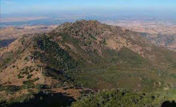
One of the systems used by California State Parks is the Roads and Trails Master Plan (RTMP). These provide an overall description of the current condition of the roads and trail system of a state park or recreation area and documents future plans. RTMPs are a public planning document similar to Land Use Plans or Land Use Plan Amendments (LUP or LUPA) used by East Bay Regional Park District. These public planning documents are important to document public input and shape direction for the future. From the Executive Summary: ‘ This Road and Trails Management Plan (RTMP) for Mount Diablo State Park (MDSP) describes the existing roads and trails of the park and provides specific direction for management and operations in the future. The goal is to ensure that recreational trail opportunities are made available at their fullest potential, while protecting the park’s cultural and natural resources. ‘ The most recent RTMP for Mt. Diablo SP was completed in 2016. This RTMP contains a number of items specifically related to bike access.
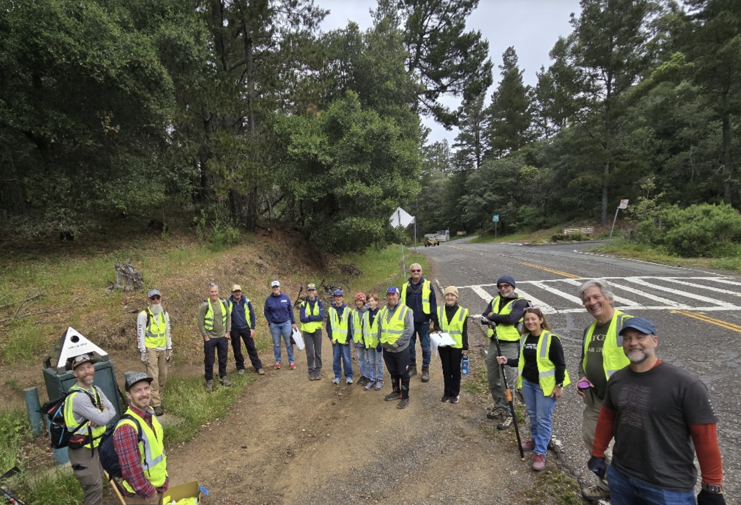
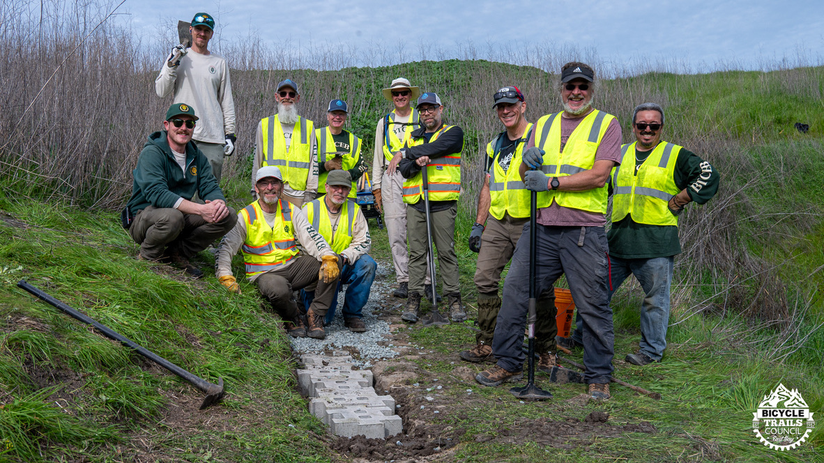
BTCEB has had limited engagement with Mt. Diablo State Park but has participated in trail work days years ago. A benefit of being a member organization in CAMTB is learning and support from their work with CA State Parks. Two areas of focus for CAMTB were RTMPs and Change In Use (CIU). Change In Use is the state park process for evaluating the change in user designation for a specific trail or road. Tom Boss of the Marin County Bicycle Coalition was a lead for CAMTB on their CIU engagement. Tom reached out and rattled our cage asking about Mt. Diablo and status of the recommendations in the RTMP. Being limited on resources we reached out to BTCEB and MBOMD member Barry Mendelson. Barry participated on the Walnut Creek Open Space Trails Committee. Together we’re in the early stages of reviewing the status of the RTMP recommendations and engaging Mt. Diablo State Park staff to advocate for further progress.
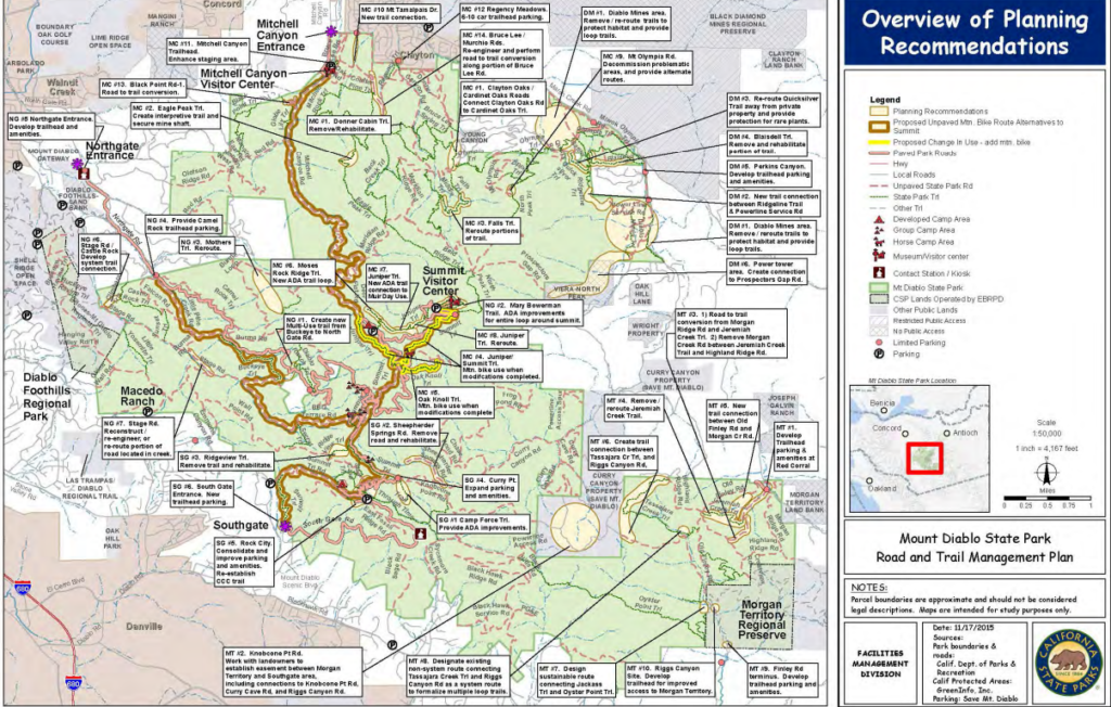
Ok, now we’ll get into the weeds a bit . . . Here are a number of the bike related items in the RTMP.
Mitchell Canyon to Summit Area
TRAIL AREA: MC#1; CLAYTON OAKS ROAD AND CARDINET OAKS ROAD CONNECTION
Issue: Unconnected routes and access improvements.
Recommendation: Provide a new, multi-use trail connection between Clayton Oaks Road-5 and Wasserman Trail-1. Prior to development of new multi-use trail, conduct change-in-use evaluation along the section of Wasserman Trail-1 paralleling the park boundary to determine multi-use compatibility. If change-in-use is recommended, the new trail connection to Wasserman Trail-1 and the re-routed section of Wasserman Trail-1 for multi-use will provide a multi-use connection between Clayton Oaks Road-5 and Cardinet Oaks Road-2.
TRAIL AREA: MC #4, PORTIONS OF JUNIPER AND SUMMIT TRAIL (CHANGE-IN-USE)
Issue: This highly used trail has many abrupt grade changes and poor trail alignment causing trail erosion, trail instability, reduced accessibility, and potential safety issues.
Recommendation: Re-route portions of the trail to a sustainable alignment.
Issue: Additional non-paved mountain bike route from the Mitchell Canyon Trailhead to the summit.
Recommendation: Change the use of Juniper Trail-7, Juniper Trail-6, Juniper Trail3, Summit Trail-7, Summit Trail-14, Summit Trail Road-1, Summit Trail-8, and Summit Trail-5 to allow mountain bike use.
TRAIL AREA: MC #5, OAK KNOLL TRAIL (CHANGE-IN-USE) TRAIL AREA: MC#6, MOSES ROCK RIDGE TRAIL-1 TRAIL AREA: MC#7,MUIR DAY USEJUNIPER TRAIL-8 CONNECTION
Issue: Desire for increased mountain biking opportunities and route connections.
Recommendation: Modify trail to create sustainability and change the use of the Oak Knoll Trail to allow mountain bikes.
North Gate to Summit Area
TRAIL AREA:NG #1, BUCKEYE TRAIL TO DIABLO RANCH TRAIL CONNECTION TRAIL AREA:
Issue: Multi-use trail connection from Buckeye Trail to North Gate Road and Diablo Ranch Trail.
Recommendation: Reconstruct and re-route the abandoned road to provide a new multiuse trail from Buckeye Trail to North Gate Road. North Gate Road can be used to provide access to the Diablo Ranch Trailhead.
TRAIL AREA:NG #3, MOTHERS TRAIL – 1
Issue: Trail is unsustainable due to excessive slopes.
Recommendation: Re-route the trail to improve sustainability. Remove and rehabilitate the old trail alignment.
Morgan Territory Area
TRAIL AREA: MT#6,TASSAJARA CREEK TRAIL TO RIGGS CANYON ROAD MULTI-USE CONNECTION
Issue: More multi-use loop trails. Highland Ridge Road and Riggs Canyon Road currently dead end at the park boundary providing an out and back experience for cyclists in the area.
Recommendation: Create a multi-use connection from Riggs Canyon Road-2 to Tassajara Creek Trail-1 (northern portion extending southwest to northeast). Although initial evaluations indicate that a change-in-use of Tassajara Creek Trail-1 (northern portion extending southwest to northeast) is possible with modifications, a full change-in-use evaluation will be required prior to development of this recommendation. Note that the portion of Tassajara Creek Trail-1 paralleling the creek drainage from northwest to southeast is not recommended for change-in-use. The proposed new connection will create a multi-use loop using Riggs Canyon Road and Tassajara Creek Trail (northern portion extending southwest to northeast), Highland Ridge Road, and the other roads located in the Morgan Territory Area.
Parkwide Recommendations
* Work with cooperating organizations to develop a bell box system for mountain bikes. This bell box system will provide free bells to be mounted on bikes for the purpose of audible awareness for other users. (p. 25)
These are starting points that are already in the ‘system’ which are easier to effect change. The CAMTB work has identified that park superintendents have a degree of latitude to adopt non system trails as well. This can vary significantly by individual. This is also an avenue for trails that present a strong case to improve experiences for all trail users and provide protection to natural resources by directing users to recognized trails.
If you have specific interest in working on this effort please send an email to advocacy@btceb.org.
Here’s a link to the Mt. Diablo State Park RMTP completed in 2016.