There’s a historical record of a native American village in Trestle Glen, aka Indian Gulch. I’ve also read of one somewhere around the bottom of Palos Colorados. You would want to be near a waterway, and the way the Hayward Fault causes the steep hillside to meet a valley on the perpendicular makes for a good spot. So Palos Colorados has probably been there a long time. Amelia Sue Marshall’s East Bay History talks about this. Early resident Franklin Rhoda describes an Indian trail that Fremont followed over the shoulder of Redwood Peak, down what’s now Lincoln Avenue.

Francis Spring sold the property from 13 to Sequoia Bayview to Joaquin Miller in 1887. The land was completely bare of trees, just dirt and rock. Someone had to have dragged all those giant redwoods out. I’m fairly sure Cinderella, Chaparral and Castle Park were log chutes. There was a mill at the bottom of Palos Colorados,
Joaquin put in trails, like Bishops Walk, and he tried to tunnel through the ridge to get water from Palo Seco creek to his home.
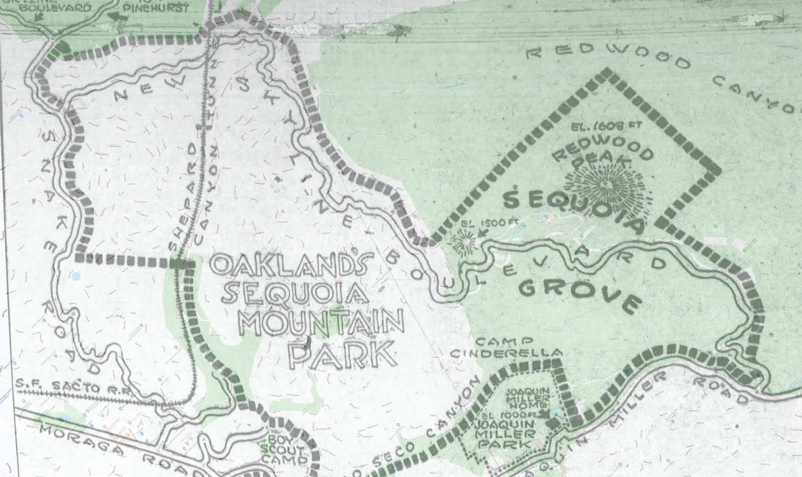
When his widow sold the property to the city in 1917, Joaquin Miller Park was created. In 1924 the city finally got a bond measure passed and bought the parcel of “Smiths Reserve” from the Realty Syndicate, preserving the parcel from Redwood Peak to Sequoia Bayview, Castle Drive to Skyline Drive as Sequoia Mountain Park.
http://fastestslowguy.blogspot.com/2020/04/oakland-sequoia-mountain-park-part-1.html
http://fastestslowguy.blogspot.com/2020/04/oakland-sequoia-mountain-park-part-2.html
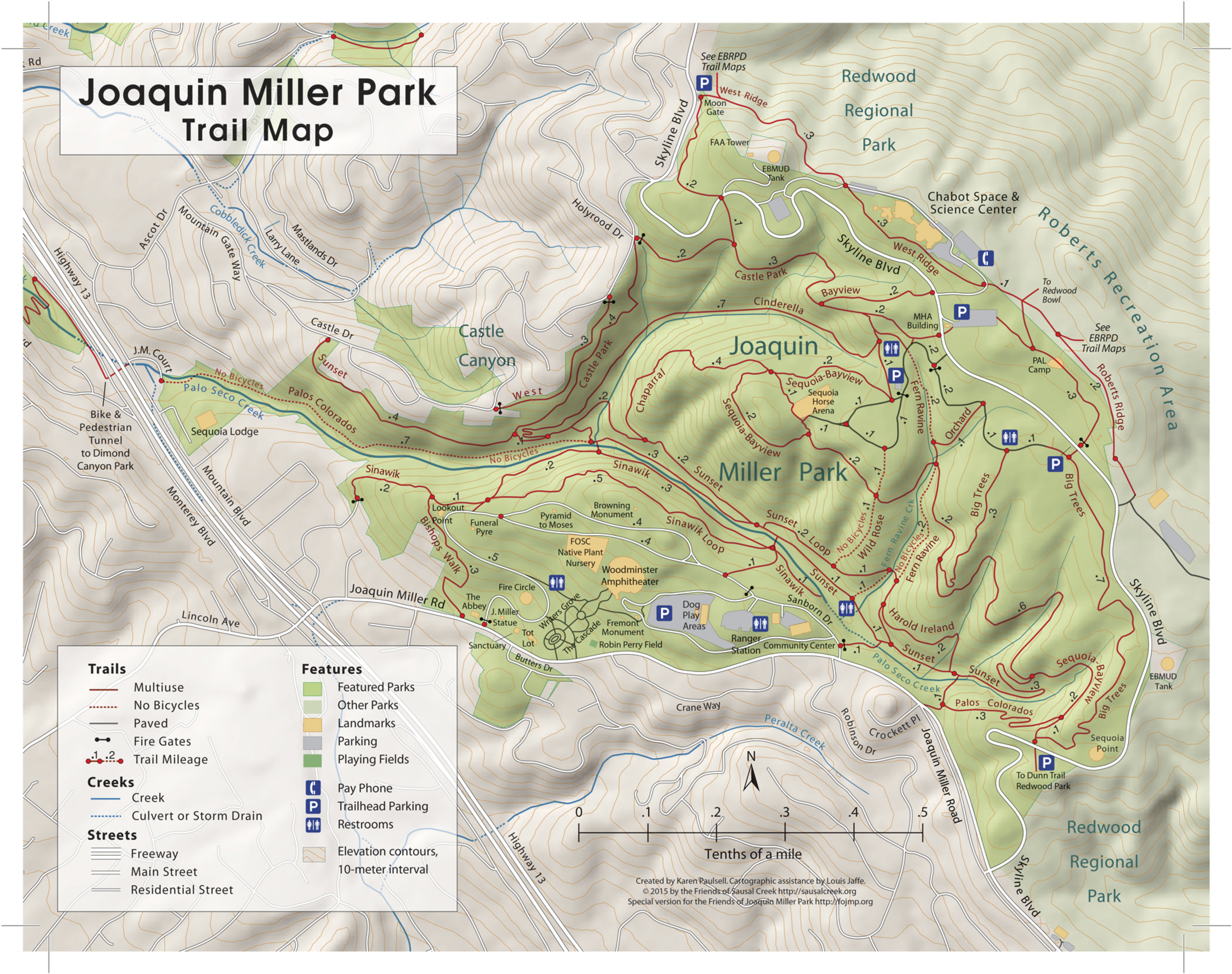
The Sequoia Bayview trail is on the boundary, likely getting its name from Sequoia Mountain Park. At some point in the 1950s the two parks were conjoined and called Joaquin Miller Park.
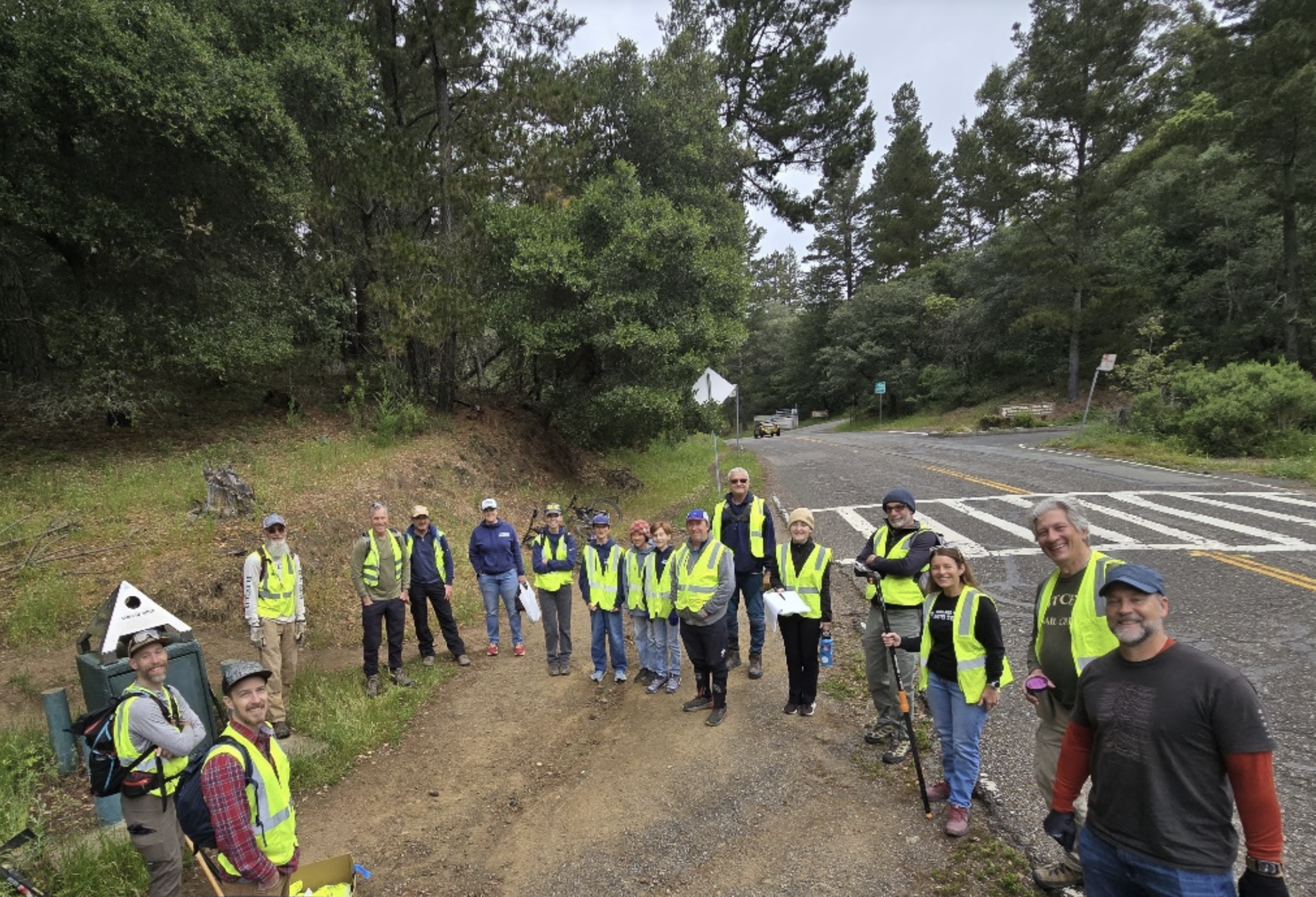
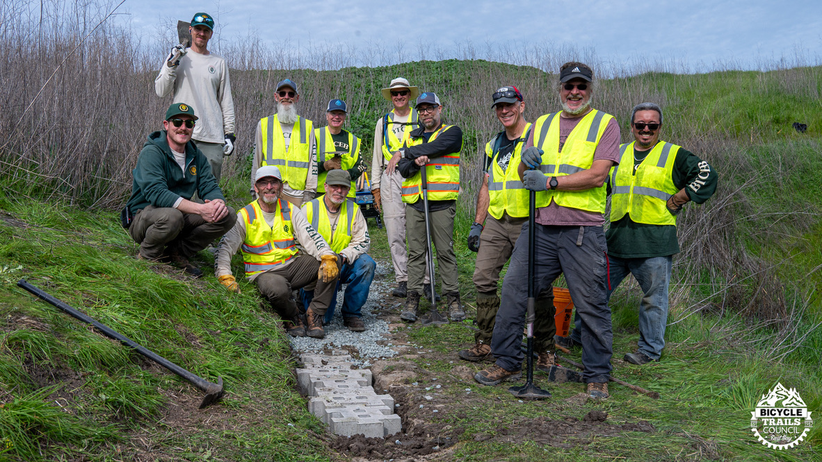
The Kiwanis built both versions of Sinawik, and the girl scout cabin. The Contra Costa Hills Club, under the direction of Harold French, built Sunset, and probably lots of other trails. Sydney Chown built many trails, including the “Piedmont trail,” which now has many other names, There were ranches near the top of the park owned by Sylva/Silva/Silver and Classen, and they certainly had roads and trails. French trail was an old wagon road. The paved access road in JMP is the old Skyline alignment. Bayview, on its way to Castle Park was probably built by the Realty Syndicate to showcase the property; there are perfectly spaced Monterey pines (or stumps) on the uphill side, just as there are near the West Ridge / Graham / Redwood Bowl junction. In 1947 aerial photographs you can see the state of the JMP/SMP trails. Portions of Sequoia Bayview (the ‘steps’ trail below the pump track) and Big Trees are the old Skyline alignment. Before Skyline was created in the 1920s, there was the “McNally road” along the ridge, at least to around where Roberts Park is today. People were coming up to Redwood Peak regularly, from the flats.